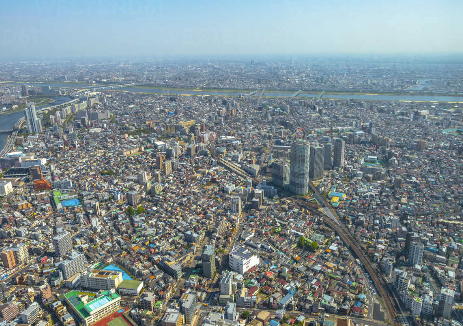
Tokyo Urban Analysis
Tokyo was cut into ½ mile (264'-0"x264'-0") tiles and expressed in detail in terms of the city's planning factors.
도쿄를 ½ mile(264’-0”x264’-0”)타일로 잘라 그 도시의 계획적인 측면에서 세부분석하여 표현하였다.

Creating Plans
Figure
A figure-ground diagram is a mapping technique used to illustrate the relationship between built and unbuilt space in cities.
Open Space
Clarify whether space is for private or public and basic natural space.
Network
Defines the structured interaction between network services, and devices to analyze their connectivity in the city.
Program
A research and decision-making process that brings together to identify the scope of usage of facilities.
도형
형태 유무 다이어그램은 도시의 건축 공간과 비건축 공간의 관계를 설명하기 위해 사용되는 매핑 기법이다.
열린 공간
공간이 사적 공간인지 공용 공간인지, 기본적인 자연 공간인지 명확히 한다.
네트워크
교통 및 광활한 네트워크 서비스 간의 구조화된 상호작용을 정의하고, 도시 내의 흐르는 서비스의 연결성을 분석한다.
프로그램
시설의 이용 범위를 파악하기 위해 범 건물, 시설들을 분석하여 어떠한 용도와 지어진 이유를 명시한다.
Section Drawing
With contour analysis by Google Earth Pro of each grid, I collected the information of differential ground levels and shapes.
Countour Anaylsis
Grid Analysis
Axon Drawing
Knowing of each detailed analysis, axon of the Tokyo tile for me showed like this.


